At a glance
- Best for
- History, unusual landscapes, photography
- Time needed
- Half a day to a full day
- Getting there
- Roads climb from the coastal belt to the plateau
- When to visit
- Early morning or late afternoon to avoid the heat
- Highlight
- The view from Command Ridge, the island's highest point
- Good to know
- Some areas are hazardous or private; go with local guidance
Buada Lagoon
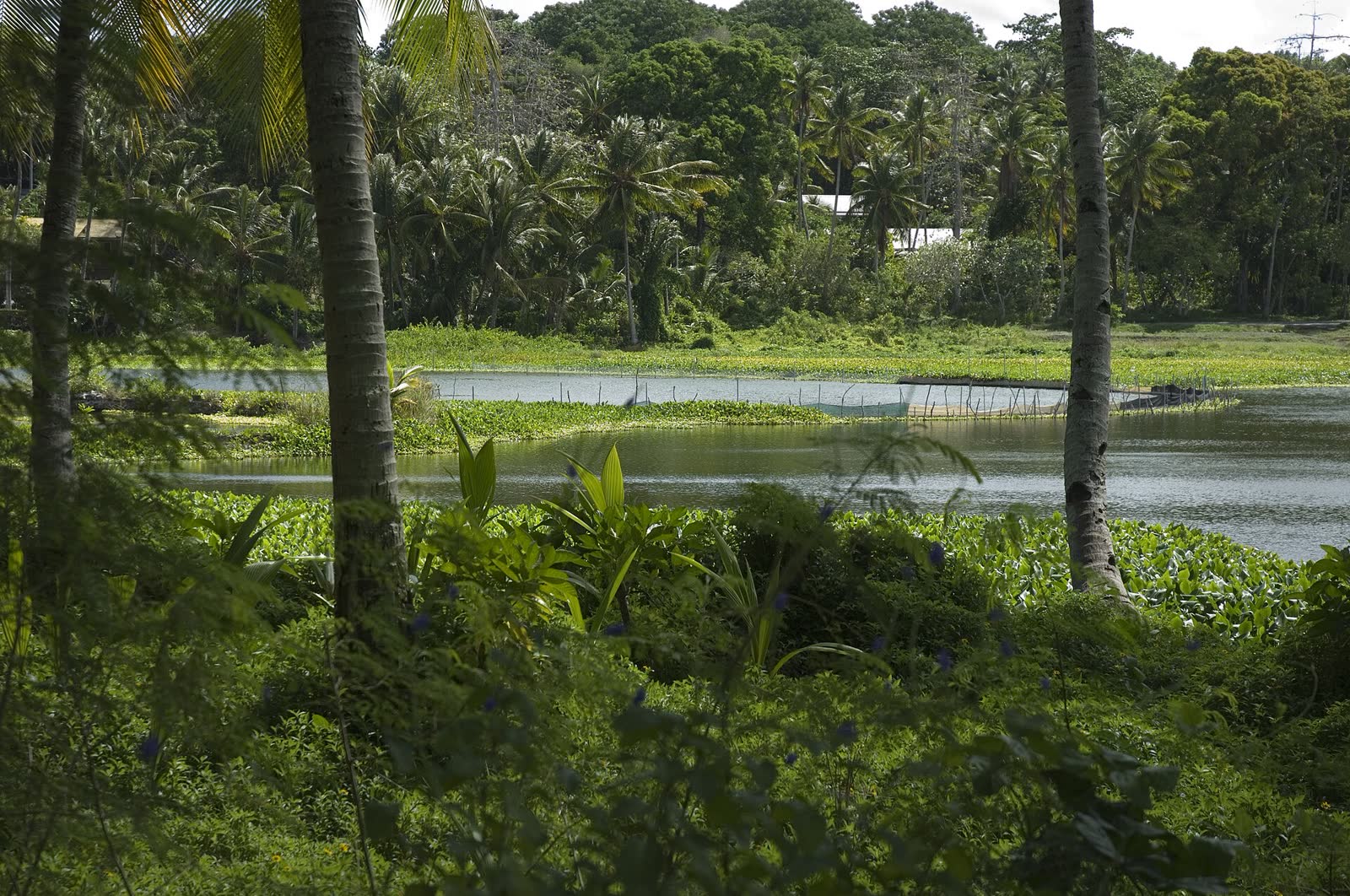
**Buada Lagoon** sits in a hollow in the south west of the plateau, in Buada district, the only district on Nauru without a coastline. The lagoon is fresh to slightly brackish water, surrounded by palms, bananas, breadfruit and pandanus. After the bare rock of Topside, the greenery feels almost startling. Walk the road around the water, find a shady spot and take in the calm. The land around the lagoon is people's homes and gardens, so stay on the road, be polite and do not swim unless locals tell you it is fine.
Topside
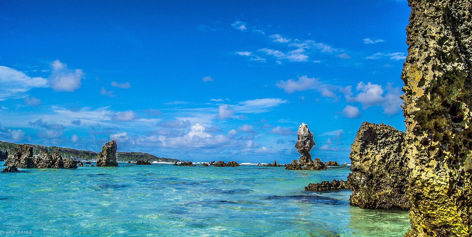
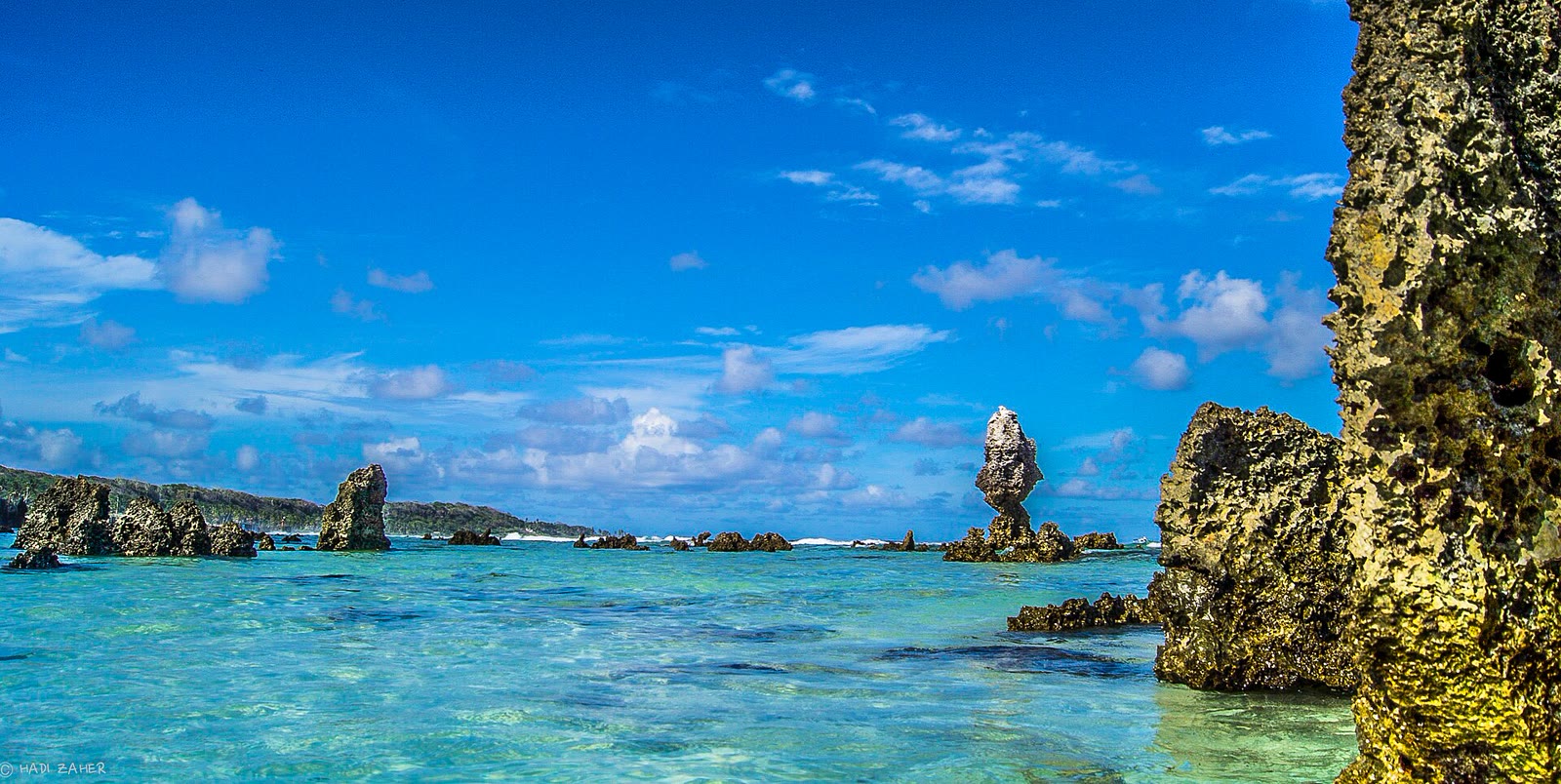
Most of Nauru's interior is called **Topside**. For about a hundred years, phosphate rock was dug out here and shipped abroad as fertiliser, first by colonial companies and later by Nauru itself. What remains is a field of **limestone pinnacles**, some taller than a person, separated by deep pits where the phosphate once lay. It is eerie, stark and unlike any other landscape you will see. Scrub and trees are slowly returning in places, and plans to rehabilitate the land have been discussed for decades.
Command Ridge
**Command Ridge** is the highest point on Nauru, a little over seventy metres above sea level. During the Japanese occupation from 1942 to 1945, it was fortified, and two **Japanese naval guns** still sit on the ridge, rusting but intact. Nearby, a concrete **communications bunker** stands among the scrub. From the top, you can see the entire country at once: Topside's pinnacles, the green ring of the coastal belt and the ocean on every side. It is a powerful place to reflect on the war, when Nauruans suffered hunger and many were deported to Chuuk.
Safety on the plateau
Topside is not a park. The ground between pinnacles is uneven and the pits can be deep, with loose rock and sharp edges. Some areas are still being mined or are private land. Go with someone local who knows safe routes, wear sturdy shoes and long trousers, carry plenty of water and avoid the midday heat. Tell someone where you are going. Do not climb on old machinery.
Wildlife
Look and listen for the **Nauru reed warbler**, the island's only endemic songbird, which lives in the regrowing scrub. Black noddies and other seabirds fly over the plateau, and catching noddies at dusk is a traditional Nauruan practice. Frigatebirds were once tamed and flown in a traditional sport.
Mining relics
Old haul roads, rusting machinery and narrow gauge rail traces are scattered across Topside. They tell the story of how the island's wealth was dug out and how Nauru went from one of the world's richest nations per person in the 1970s to economic hardship once the phosphate ran low. Some of this equipment sits on active or private sites, so look from the road unless you have permission.
Photography
The best light on the pinnacles is early morning and late afternoon, when shadows bring out the texture of the rock. A wide lens captures the scale of the mined landscape, and the guns on Command Ridge make a strong subject against the sky. Ask before photographing people or homes around Buada.
Getting there
Roads lead up from the coastal belt, including routes from Aiwo and near Yaren. The climb is short but hot. Walking is possible if you start early; otherwise ask your hotel how to reach the plateau. Combine the lagoon and Command Ridge in one morning, then cool off at Anibare Bay in the afternoon.
Questions about Buada Lagoon and Topside
How do I get to Command Ridge?
Roads climb from the coast to the plateau. The ridge is easiest to find with someone local, and the final walk is short but uneven.
Can I swim in Buada Lagoon?
It is surrounded by homes and gardens. Ask locals first, and do not assume swimming is welcome or safe.
Is Topside safe to walk on?
Only with care and local guidance. The pinnacles and pits are uneven, sharp and sometimes deep, and some areas are active or private.
Why does Topside look like that?
Phosphate was mined between the limestone pinnacles for about a century, leaving the rock columns standing when the deposits were removed.
Facts checked . Fees, schedules and entry rules change, so always confirm the latest with the official source.