At a glance
- Best for
- Epic road trips, high lakes and Pamiri culture
- Permit
- GBAO permit, usually added to the e-visa
- Time needed
- Seven to twelve days
- Best season
- June to September
- Main towns
- Khorog and Murghab
- Getting around
- Hired jeep with driver, shared jeeps or bicycle
Why travel the Pamir Highway
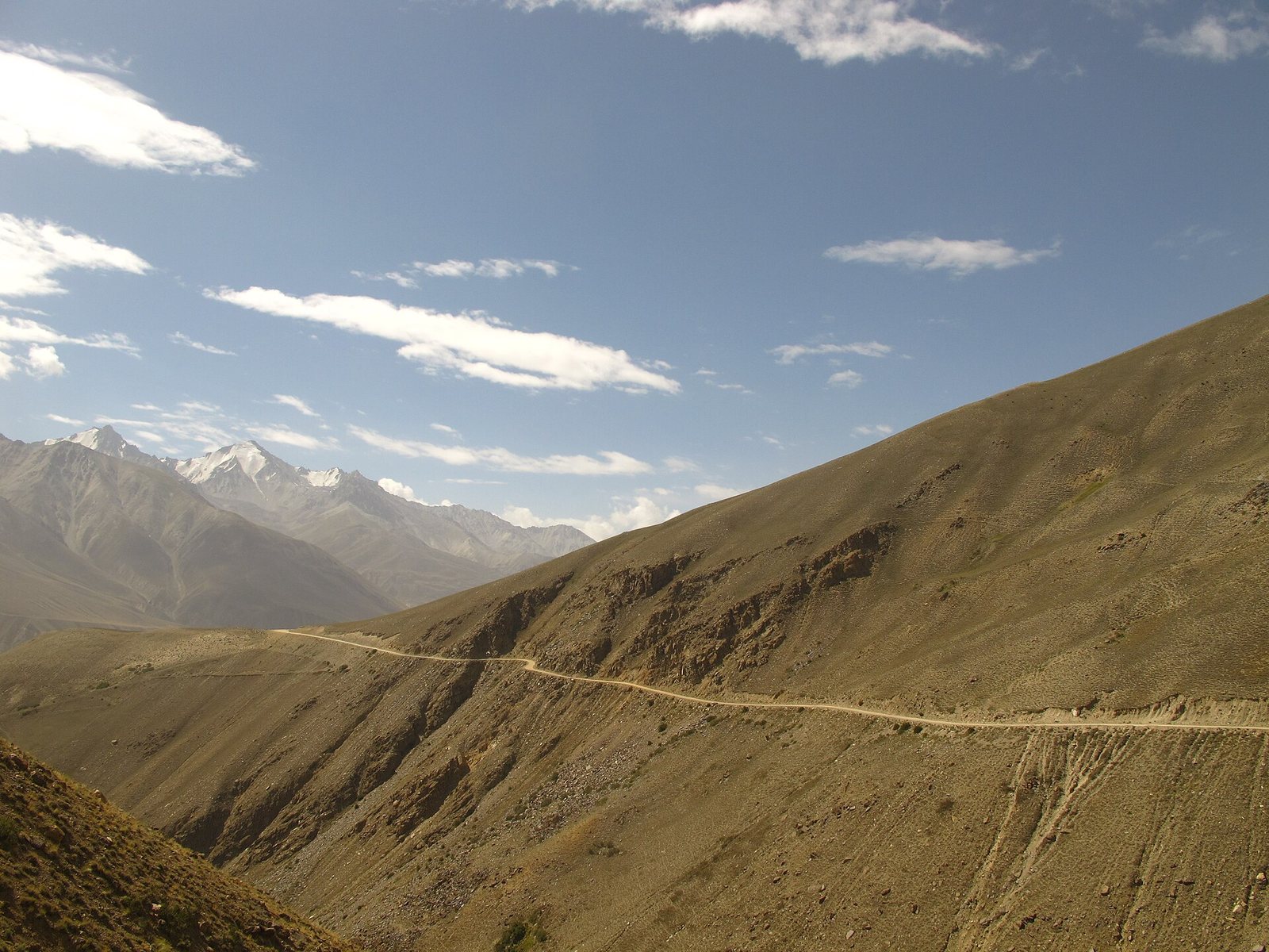
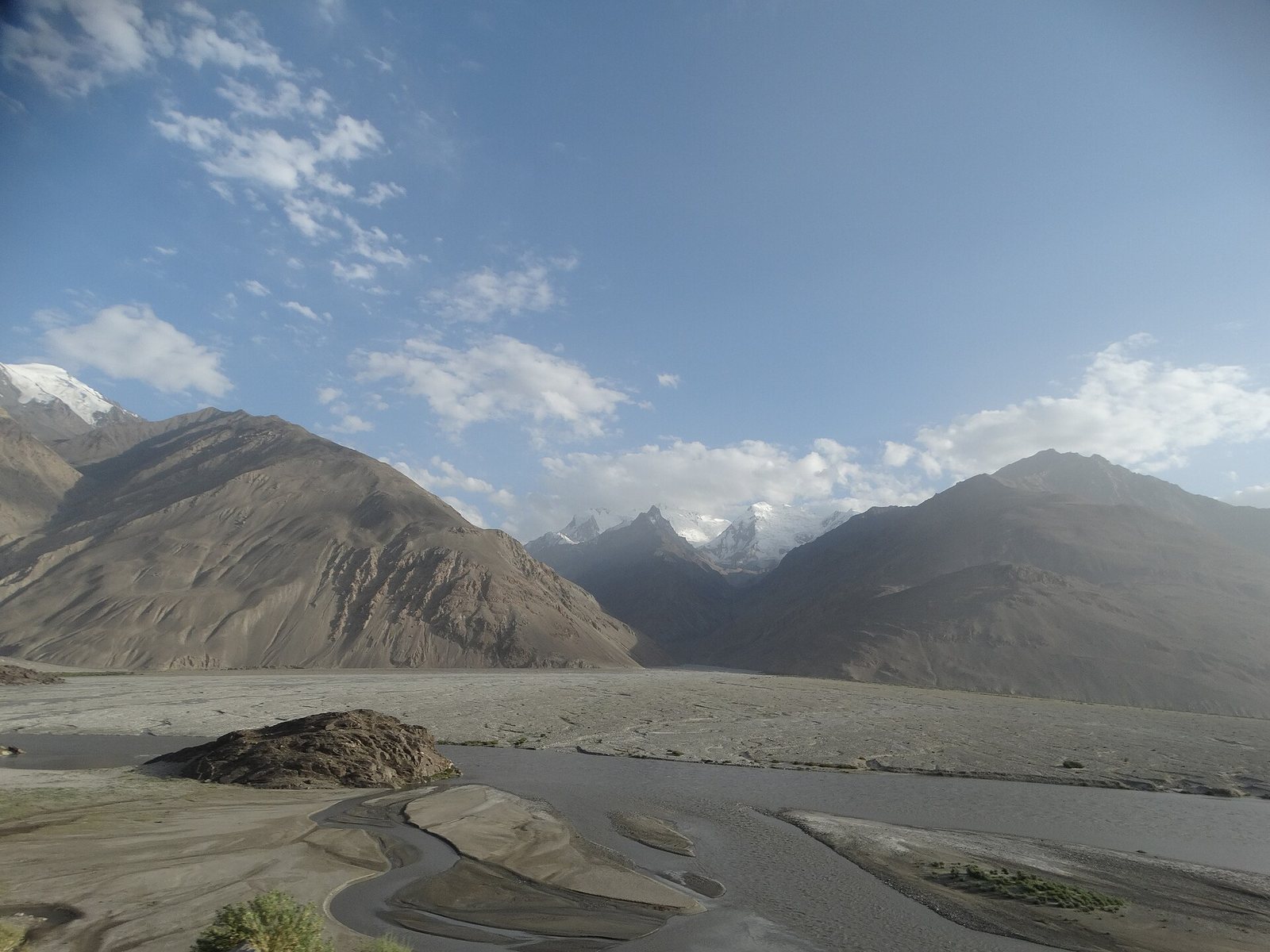
Few roads anywhere match the M41 for drama. For days you follow the Panj river, with Afghan villages so close across the water that you can see children playing, then climb to a high desert plateau over four thousand metres, home to Kyrgyz herders, yaks and lakes under enormous skies. Along the way, Pamiri families welcome travellers into homes built around a skylight and five symbolic pillars.
The route
From Dushanbe, most travellers take the northern route through Tavildara or the southern route through Kulob to Kalaikhum, where the road meets the Panj. From there it follows the river to Khorog, the regional capital, often a two day drive from Dushanbe. Many then take the Wakhan valley loop, covered in our Wakhan valley guide, before rejoining the highway near the lakes of Bulunkul and Yashilkul. The highway runs on to Murghab, then over the Ak-Baital pass, the highest point at around four thousand six hundred metres, to Karakul lake and the Kyzyl-Art pass into Kyrgyzstan towards Osh.
Khorog
Khorog sits in a narrow valley where the Gunt meets the Panj. It is the place to rest, find cash, repair vehicles and eat well. Visit the Pamir Botanical Garden on the hill above town, the regional museum and the green city park, and have a meal at Delhi Darbar, a much-loved Indian restaurant. The Pamir Lodge guesthouse is a meeting point for overlanders and cyclists.
Side trips
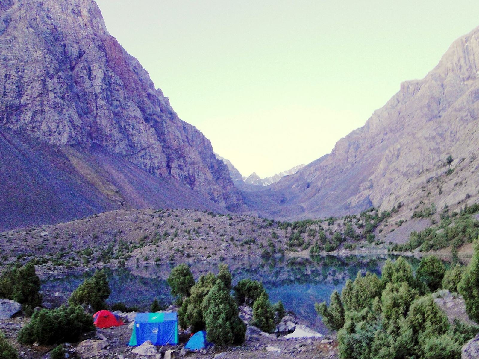
The Bartang valley is the wildest side valley, with hanging villages and the car-free village of Jizeu, reached on foot. Garm Chashma has hot springs and white travertine terraces south of Khorog. In the east, Bulunkul and Yashilkul lakes sit on a high plateau, and Karakul is a vast lake near the northern end of the road.
Murghab
Murghab is a windswept town of low houses and container shops on the high plateau, with a strong Kyrgyz character. Homestays are basic but warm, electricity may be limited and nights are cold even in summer. It is the base for trips to the surrounding valleys.
How to travel
Most visitors hire a jeep with a driver for the whole route, which can be arranged in Dushanbe, Khorog or Osh. Shared jeeps run between Dushanbe and Khorog and less often to Murghab. Cyclists and motorbike riders travel the road in summer. There are no buses beyond Khorog.
Permit and paperwork
You need a GBAO permit for the Gorno-Badakhshan region, usually added when you apply for the e-visa. Carry several copies of your passport, visa and permit, as there are checkpoints along the road. Lake Sarez and some border areas need extra permission.
Altitude and safety
Much of the eastern Pamirs is above three thousand five hundred metres. Go up gradually, drink water, avoid alcohol early on and come down if symptoms worsen. Roads are rough and landslides happen, so travel with an experienced driver and do not drive at night. Parts of the region have seen unrest in recent years and several governments advise caution or against travel near the Afghan border, so check current advice before you book. Bring all the cash you need, as ATMs are few. To plan a realistic route, use the free trip planner.
Questions about the Pamir Highway
How long does the Pamir Highway take?
Allow at least seven days from Dushanbe to Osh, and ten to twelve to include the Wakhan valley and rest days.
Do I need a permit for the Pamir Highway?
Yes. The GBAO permit covers Gorno-Badakhshan and is usually applied for alongside the e-visa on the official portal.
Can I drive the Pamir Highway myself?
Some experienced overlanders do, but most visitors hire a jeep with a local driver, which is safer on rough, remote roads.
When is the Pamir Highway open?
The road is open all year in principle, but June to September is the practical season. Snow and cold close high passes and homestays in winter.
Facts checked . Fees, schedules and entry rules change, so always confirm the latest with the official source.